Comming Soon, LocateFlow: The Intelligent Geospatial Platform
Where Location Data Comes to Life
Welcome to LocateFlow, the all-in-one platform that transforms how you collect, manage, and interact with the world's spatial data. We've built a seamless flow from raw GIS uploads to rich, interactive maps and powerful mobile tools—all on a lightning-fast, intelligent engine.
The Flow of Geospatial Intelligence
📤 Effortless Data Ingestion
Easily upload your GIS features. Our platform handles the complexity, automatically structuring everything to the modern STAC specification for maximum interoperability and future-proofing.
⚡ Intelligent Data Access
Stop waiting on slow queries. LocateFlow's smart cluster pre-selects and partitions data based on your search parameters—like bbox, dwithin, and CQL2 filters—delivering the results you need at unprecedented speed.
🎨 Simple Data Enrichment
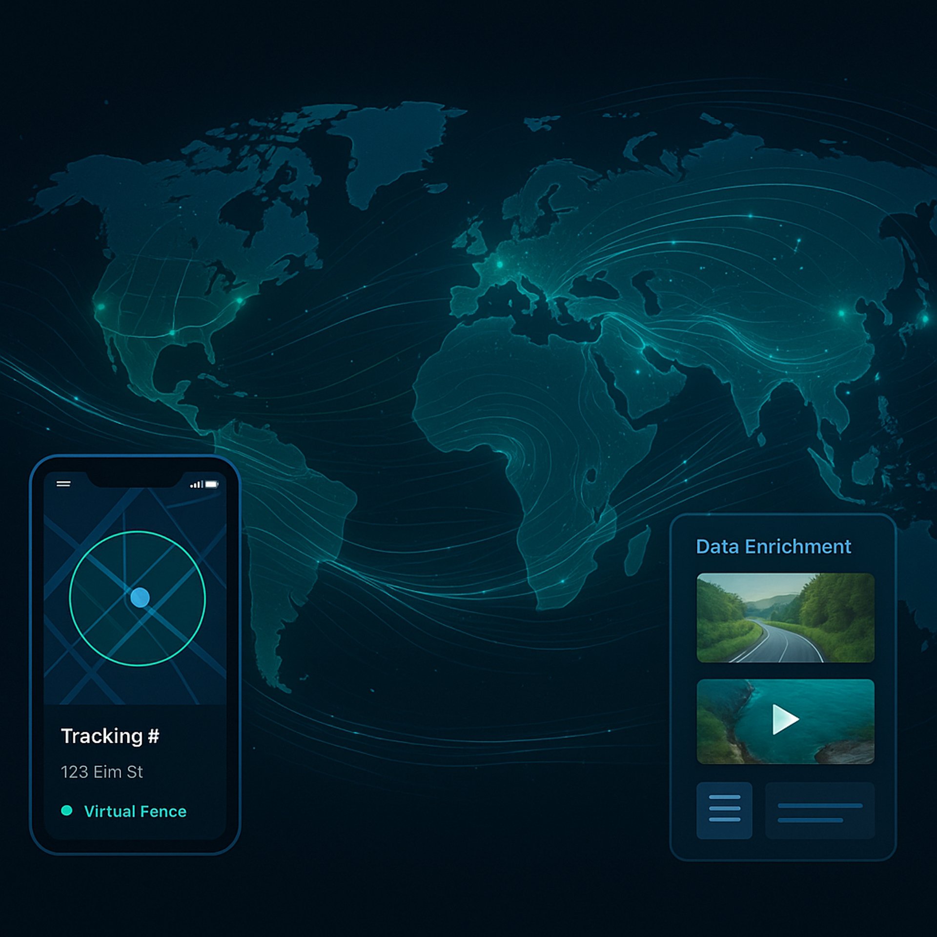
Turn points on a map into rich stories. With just a few clicks, add photos, videos, 360° panoramas, text, and documents to any feature. Don't just plot data—bring it to life.
📱 Mobile-First Field Intelligence
Take your maps everywhere. The LocateFlow mobile app syncs with your account in real-time. See your location, set up virtual geofences, and share your findings publicly or with your team, all from the palm of your hand.
Ready to Transform Your Geospatial Workflow?
Locate. Enrich. Share. The modern way.
Get started today. For inquiries and early access, contact us at:
info@locateflow.xyz